Backlands Spring Migration – Yellowthroat
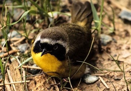
In our continuing series featuring birds sighted in the Backlands, we focus today on a member of the warbler family.
Established in 1968 for the Preservation of Williams Lake
In our continuing series featuring birds sighted in the Backlands, we focus today on a member of the warbler family.
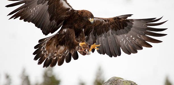
In our continuing series featuring birds sighted in the Backlands, we focus today on a major bird of prey: the Golden Eagle.
Our 2021 annual Newsletter is now available! It includes updates on the dam & water level issues, land rezoning that would affect the watershed, and an invitation for members and volunteers.
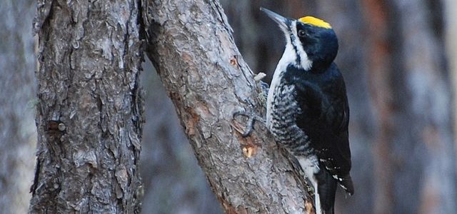
This inky black bird with a sharp white stripe on his face is “nearly synonymous” with periodically burned forests like the Backlands, where it feasts on big, juicy wood-boring beetle larvae.
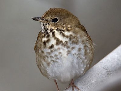
Many Hermit Thrushes established their second nests this season.